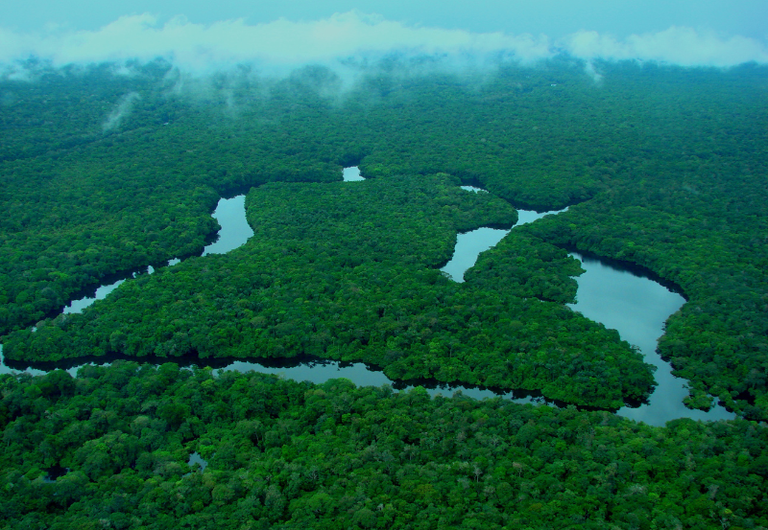
Brazil’s Environment Ministry and the National Institute for Space Research, known as INPE, said satellite alerts for deforestation in the Amazon covered 2,874.38 square kilometers between August 2025 and July 2026. That was a 36% decline from the corresponding previous 12-month DETER monitoring cycle and the lowest reading in this series for the period since 2016.
The figure is a timely indicator of where satellite monitoring detected vegetation clearing, rather than Brazil’s final annual deforestation rate. DETER, which stands for Real-Time Deforestation Detection System, is built to support inspections and enforcement; INPE’s separate Prodes system produces the country’s official annual deforestation assessment.
What happened
According to INPE and the Environment Ministry, the August 2025-to-July 2026 Amazon total was 55.6% below the average of the preceding 10 DETER cycles, covering 2015/2016 through 2024/2025. The monitoring calendar runs from August to July, so it does not match a calendar-year total.
The government reported that Pará had the largest area under DETER alerts, at 987.27 square kilometers, followed by Mato Grosso with 834.41 square kilometers and Amazonas with 433.9 square kilometers. These three states accounted for most of the recorded alert area in the period.
All but one of the six Amazon states with the largest alert totals posted a decline from the prior cycle. Mato Grosso fell 49%, Amazonas 46.7%, Rondônia 41.2%, Acre 35.3% and Pará 25.5%. Roraima was the exception: its 272.6 square kilometers of alerts represented an increase of 32.5% from the previous cycle.
The state pattern matters because a lower biome-wide total does not mean pressure disappeared everywhere. DETER identifies areas requiring attention, while a determination of whether clearing was authorized or illegal requires authorities to cross-reference alerts with permits and territorial records.
How DETER differs from the official annual rate
DETER issues frequent alerts based on satellite imagery so that enforcement bodies can target field operations. Its operational purpose means its alerts are not a monthly or annual deforestation rate, and adding them up does not reproduce the Prodes result. Cloud cover, image availability, sensor characteristics and the systems’ different mapping methods also affect comparisons.
Prodes is the higher-accuracy annual survey used as Brazil’s official policy reference. It measures vegetation suppression over an August-to-July year and produces maps and a historical series. The two systems should therefore be read together, not treated as interchangeable measures of the same area.
That distinction became especially clear after the DETER release. On October 16, INPE reported a Prodes estimate of 3,335 square kilometers of deforestation in the Legal Amazon from August 2025 through July 2026, down 41.8% from 5,731 square kilometers in the preceding period. INPE said the estimate was the lowest in the Prodes series, which began in 1988. The agency also noted that the Amazon figure released in October is an estimate based on priority images; the consolidated Prodes rate, calculated using the full image set, is due in the first half of 2027.
The DETER total of 2,874.38 square kilometers and the Prodes estimate of 3,335 square kilometers should not be used to infer an increase between the two releases. They are products with distinct purposes, methods and geographic definitions: Prodes reports for the nine-state Legal Amazon, which includes areas beyond the Amazon biome.
By the numbers
- 2,874.38 km²: Amazon area under DETER alerts from August 2025 through July 2026.
- 36%: decline in Amazon alerts from the preceding DETER cycle.
- 55.6%: reduction versus the average of the prior 10 DETER cycles.
- 987.27 km²: Pará’s alert total, the largest among Amazon states in the release.
- 3,335 km²: INPE’s subsequent Prodes estimate for deforestation in the Legal Amazon in the same August-to-July monitoring year.
- 41.8%: fall in that Prodes estimate from the 2024/2025 annual period.
The Cerrado comparison
The same DETER release showed that alerts also declined in the Cerrado, Brazil’s vast tropical savanna, but at a much slower pace. They fell 7.8% to 5,119.46 square kilometers in August 2025 through July 2026. That was a larger area than the Amazon DETER alert total for the same interval.
Maranhão recorded the largest Cerrado alert area, at 1,276.92 square kilometers, followed by Tocantins with 1,189.9 square kilometers. Maranhão, Tocantins, Piauí, Mato Grosso, Bahia and Minas Gerais all recorded substantial alert areas. The state-level results were mixed: Piauí and Bahia posted sizable declines, while Maranhão, Mato Grosso and Minas Gerais increased from the prior cycle.
This provides an important national context for international readers and companies tracking land-use risk in Brazilian supply chains. A sharp Amazon improvement is significant, but the monitoring release also showed that the Cerrado remained a major center of detected native-vegetation loss.
What to watch next
The next formal benchmark for the Amazon will be the consolidated Prodes 2026 rate expected in the first half of 2027. INPE said the October estimate will be updated after analysis of the full image coverage.
Readers should also watch the state distribution of future DETER alerts, particularly whether Roraima’s increase persists and whether reductions in Pará, Mato Grosso and Amazonas continue. The data establish a strong downward trend in satellite-detected clearing for this cycle, but they do not by themselves identify the cause of that change or determine the legality of individual clearings.